
 Maps have many purposes, and one of the most important to site selectors and talent is to demonstrate access, not just location.
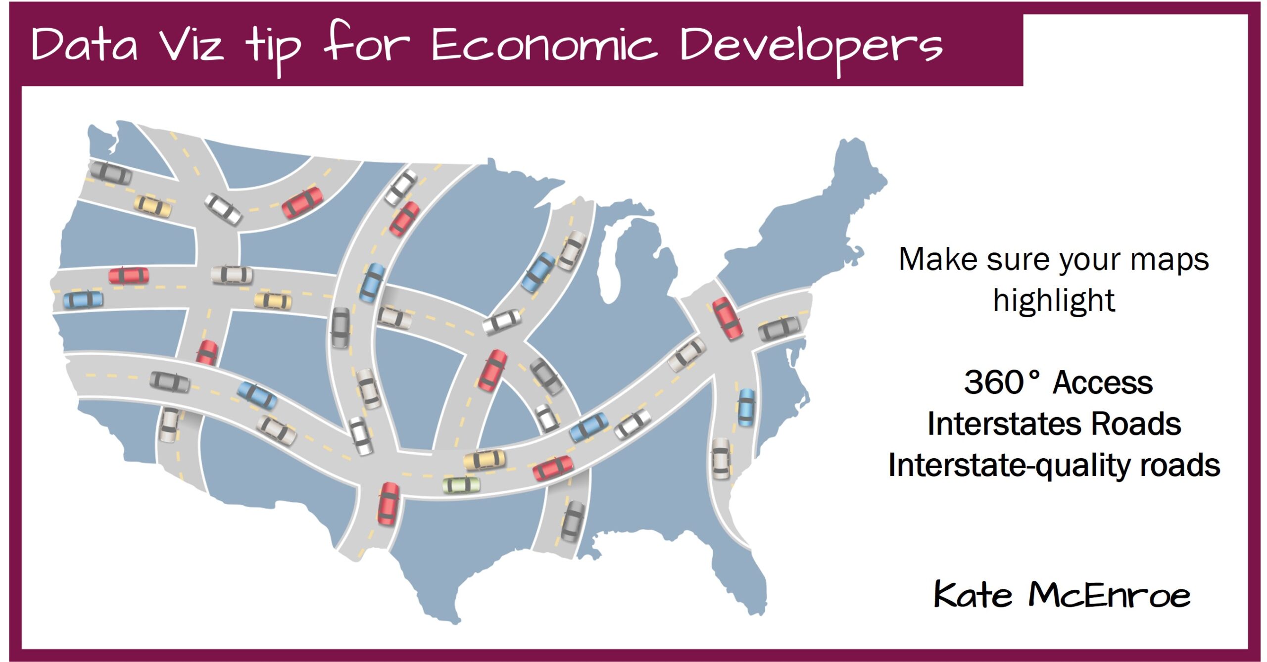
Communities that lie at the intersection of multiple interstates have an easy way to highlight 360۠ access, but those places are few and far between. Others may highlight their proximity to a north-south or an east-west interstate, but leave the other directions a mystery. Still others are accessed via a combination of state, county, and local highways and routes, but what we call them doesn’t always identify what kind of roads they are.
We have all traveled on roads that aren’t interstates, but might as well be – high speed limits, few or no stop lights, limited access, but that’s hard to tell from standard maps.
My suggestions: make sure the maps on your web site or collateral highlight at least one primary north-south and one east-west route. If they aren’t interstates, put in some annotations – perhaps a speed limit symbol or divided highway symbol.
Yes, this is more work beyond clicking “insert” or “copy/paste”. Or, it’s more work to undo the wrong assumptions that an incomplete or confusing map can create.