
 If you’ve ever had to answer the question “are we there yet?” you know that it’s really about how much longer, not how much farther.
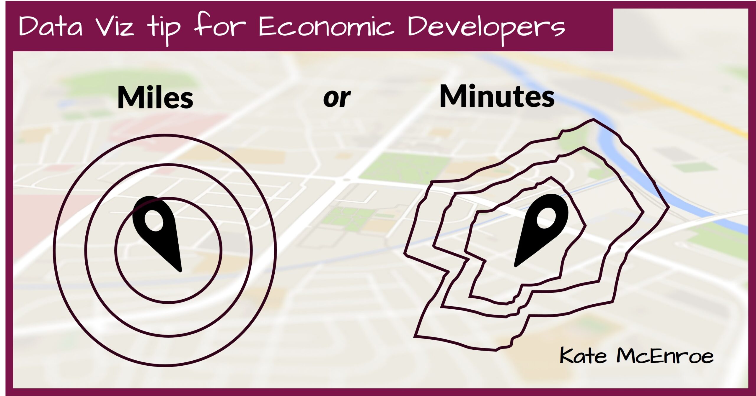
Economic development maps used to describe a community’s access to specific places or resources will (and should) often overlay distance references instead of just relying on a mileage scale. In fact, the “bulls-eye” map is an absolute classic, but those beautiful concentric circles rarely describe reality.
The good news is that whatever your budget, you should be able to produce maps that provide a more accurate and helpful picture of accessibility using minutes instead of miles. For rural areas in particular this approach lends credence to the common claim that people will drive long distances to or from work in your area.
Minutes instead of miles isn’t just a good idea to help you display the boundaries of your labor draw area with these custom-to-you amoeba shapes. It’s also the better option if you’re using straight arrows or even tables when describing connectivity to the large airports, universities, suppliers, customers, recreational assets and other resources.